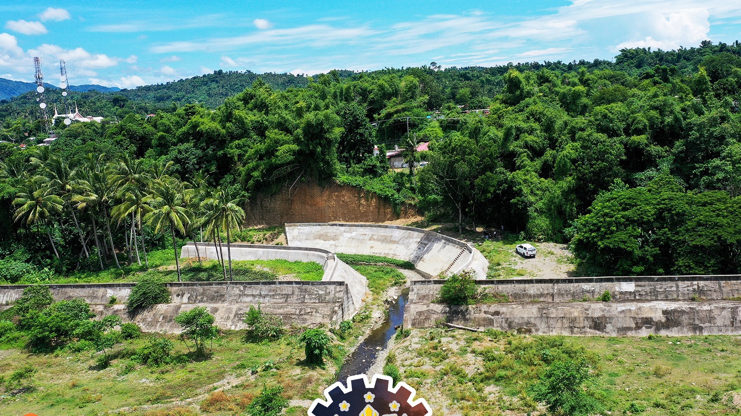
Medyo matagal na rin akong di napadpad dito. It has been 21 years since we went there, back when I was still a kid. It was a different world—so laidback and so rural, that the city boy in me was quite shocked. We visited the once booming mines up in the mountains of Marinduque. It was like a small city on its own, has its own airport, a mountain with a blue pit below.
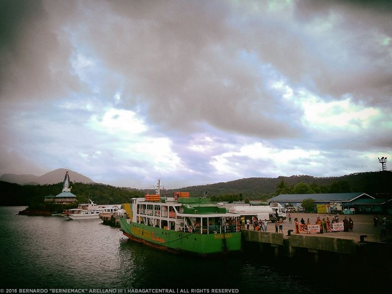
Marinduque has that surreal feel na hindi ko maintindihan bilang bata pa.
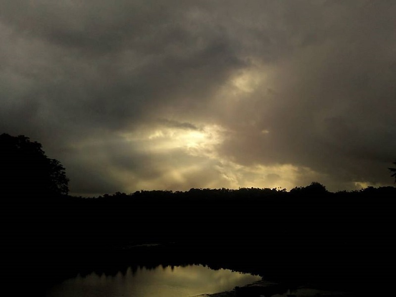
We left the province that same day. It got me curious on its mystical charm – of that laidback aura and famed fierce mascots called Moriones during Semana Santa.
Breather
Nakupow! Stress Orena-Drilon ang peg ko. The work and all the traffic and noise of the “Ever Imperial and Noble City of Manila” have driven me mad and somehow uneasy. I need a break from all these noise!
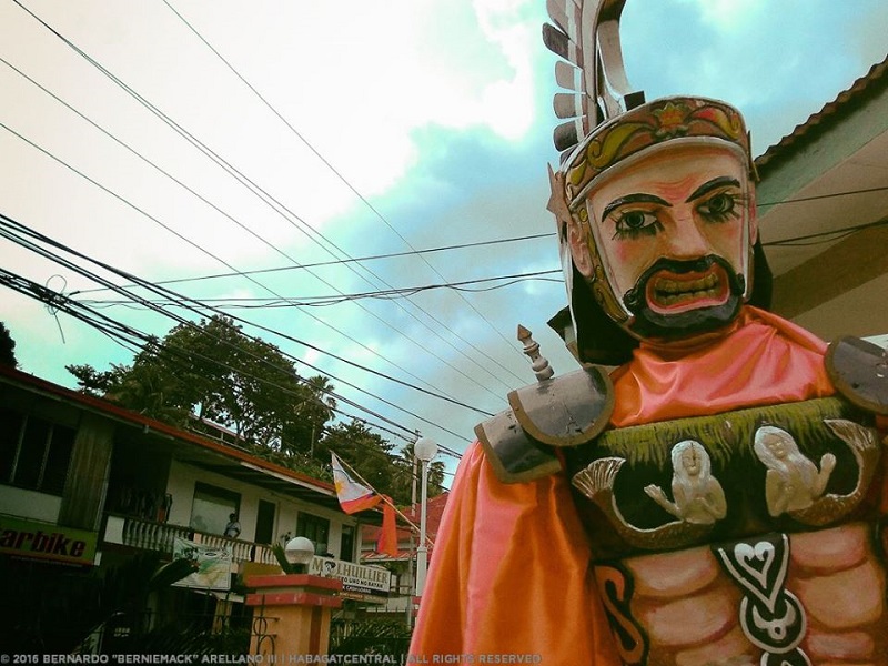
My best bud and I have been planning to go to Marinduque before the rainy season goes on a full blast. It was postponed for the Independence Day weekend and was moved a week later. The forecast was good—isolated rainshowers and thunderstorms especially in the afternoon. Together with my colleague and fellow heritage advocate, we embarked in a laidback adventure.
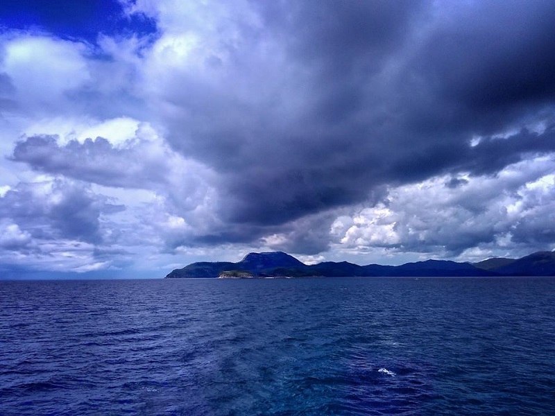
We planned it as if we’re not to rush things, meet new people, and experience Marinduque in the eyes of the locals, and boy it went good enough that on our last day, it was kind of melancholic to leave it.
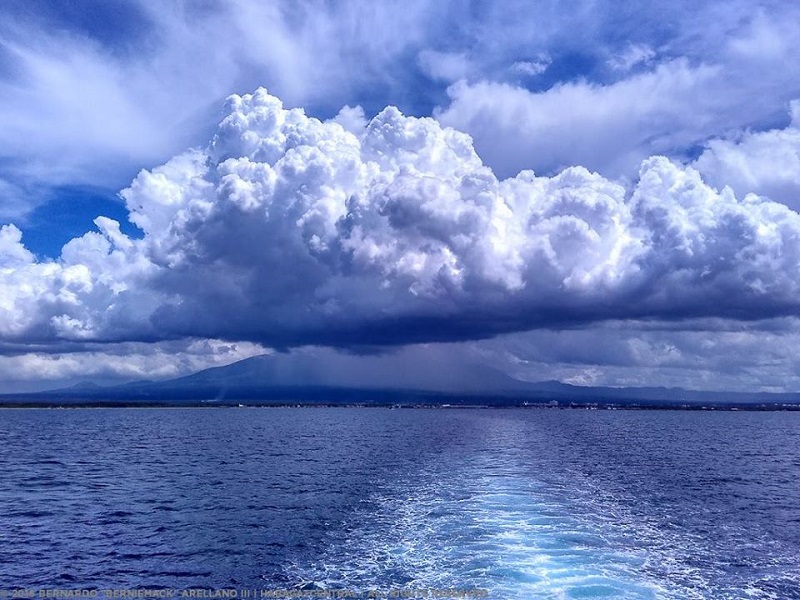
Finally, a respite from the crazy and mad life of Manila!
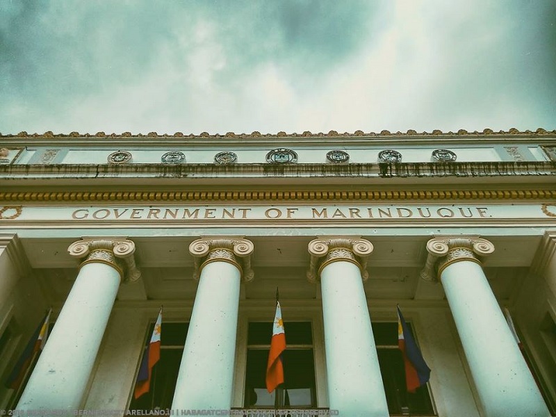
It has been twenty-one years since I went to this island off coast of Luzon. I wondered how the charming island has become.
(to be continued…)
About the writer: Bernardo Arellano III is a Project Officer at National Commission for Culture and the Arts. He is a traveler, geography student, cultural heritage advocate and worker.


